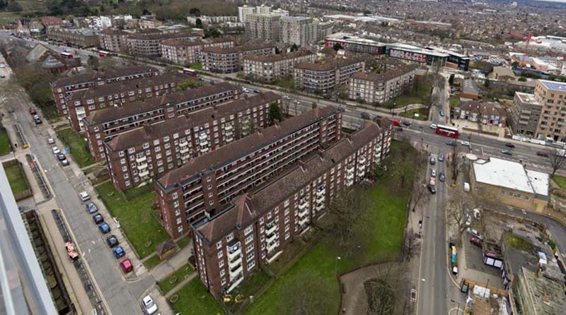
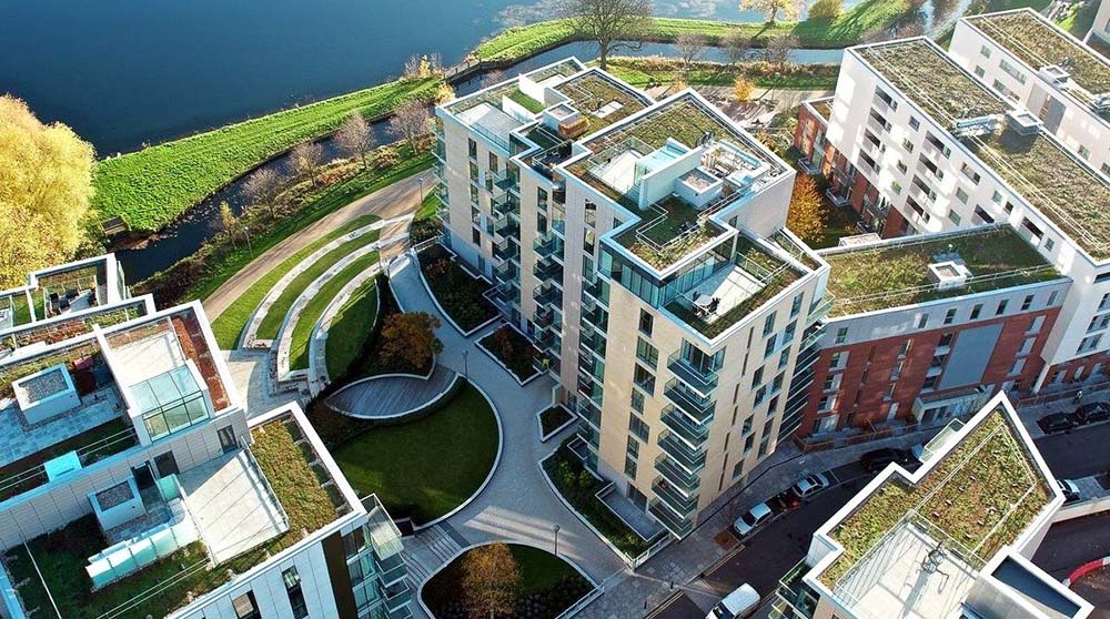
Woodberry down London
3D Utility Mapping Survey of Woodberry down London
We were instructed by Berkeley Group to undertake a full 3D Utility Mapping Survey on the Woodberry Down Estate in conjunction with the large 25-year Hackney Council regeneration project.
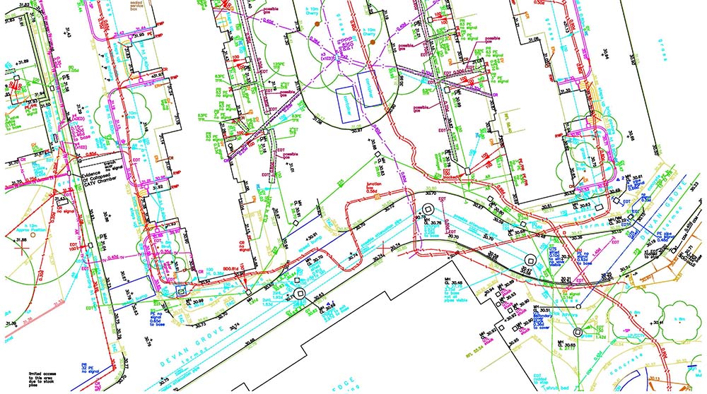
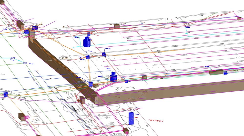
The Survey: In order to complete a full 3D Utility Mapping Survey correctly, a survey team is required to obtain a lot more detail than a standard 2D survey. This enables us to map our findings accurately onto a 3D Topographic survey.
The Results: Completing a standard Utility Survey can be very difficult, and it is essential that these surveys be undertaken by highly trained specialists. However, a 3D Utility Survey is even more complex given the amount of additional information required to process the results in 3D format. Surveying within the public realm, on housing estates and major road networks, can be very challenging and requires a high level of professionalism, experience, and attention to safety.