Solar Farm Topographical & Utility Surveys
Utility Survey & Topographical surveys
Amethyst Surveys were pleased to undertake a topographical survey and utility survey of a number of rural sites across the UK. The land to be surveyed had been selected as a potential site of a new of a solar energy farm which could generate sustainable energy for local residents and beyond. Sustainability remains a focus for many local authorities and this project is one of a number of measured surveys we have undertaken for solar farms, at various stages of their development, over the last few years.


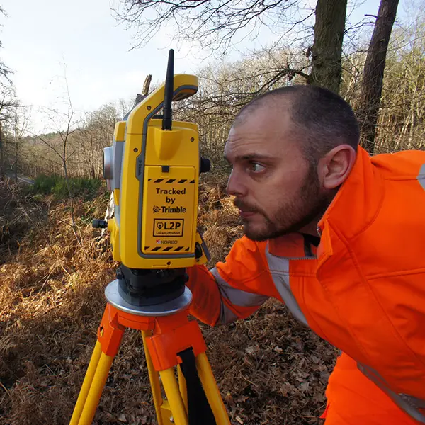
The Survey: We were tasked with surveying three separate parcels of land, all of which would require a comprehensive topographical survey and underground utility survey. The surveys were completed over the course of 6 days with final drawings issued within 5 days of completing on site.
Owing to the proposed use of the site as a solar farm, when undertaking the topographical survey, there were several site features which our experienced team were to pay particular attention to. These included the heights and low points of overhead cables, as well as tree heights and accurate tree canopy sizes. Any features, either natural or man-made which could cast a shadow, required the heights to be shown on the plan. The topographical survey would also locate all boundary positions as well as any ditches or watercourses.
The Results: tilising our experience in surveying sites designated for the construction of solar farms, we delivered both surveys on-time and within budget, providing the survey in both 2D and 3D DWG format.
Should you be looking to instruct a topographical survey or underground utility survey, Amethyst Surveys would be pleased to assist.