Topographical & Underground Drainage Survey
Drainage Surveys & Topographical Surveys
Amethyst Surveys were commissioned to undertake a topographical survey and underground drainage survey of a car park & former paddling pool in Tettenhall, Wolverhampton. The surveys were instructed by The City of Wolverhampton Council with the purpose of identifying the drainage infrastructure on site.
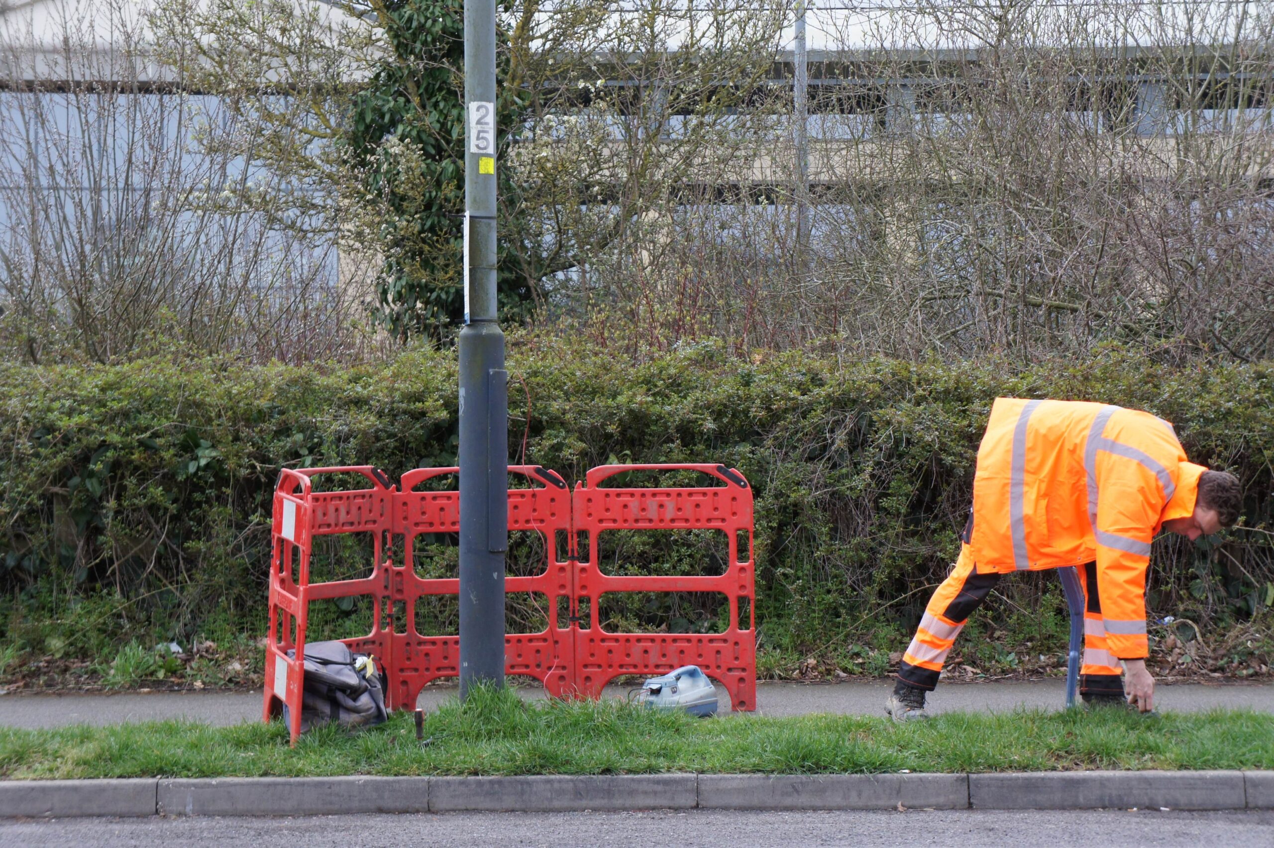

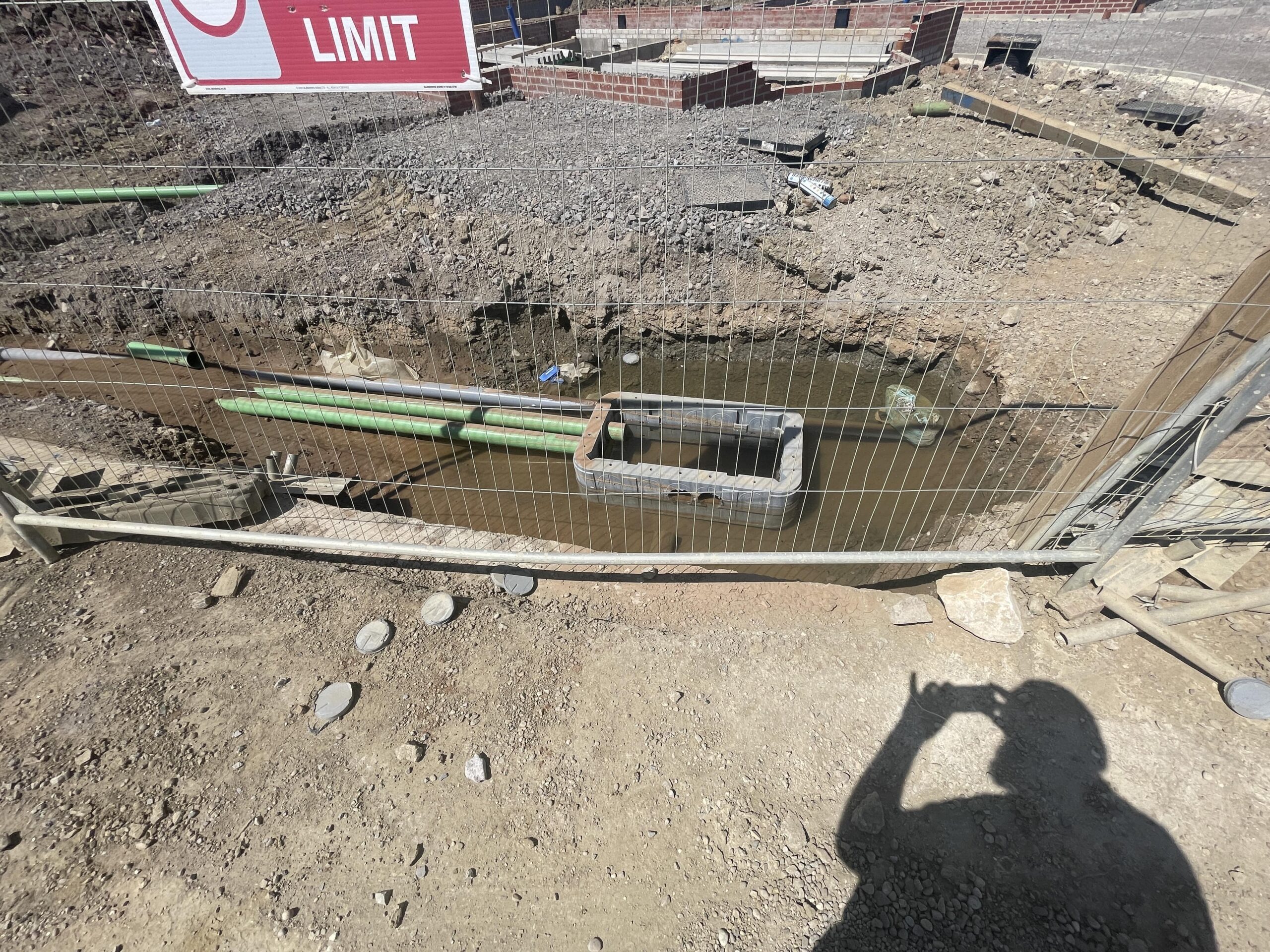

The Survey: The client sought detailed information on all features related to the drainage system to aid in system redevelopment and upgrades. Leveraging over 20 years of experience, we delivered a topographical and drainage survey to the highest standards and accuracy, providing results in both 2D and 3D formats.
An accurate and up to date topographical survey is essential for surveying and mapping underground features. The topographical survey effectively provides the ‘base map’ for the underground information to be accurately positioned and the findings overlaid on the topographical survey. Without this ‘base map’ any underground utility information provided would merely be indicative.
The Results: The drainage survey results were collated onto the topographical survey and issued to the client as a 2D & 3D CAD drawing.
Should you be looking for a accurate measured survey to support your project or would like to discuss the importance of having an accurate and up to date topographical survey for mapping underground features please feel free to contact us