Services used:
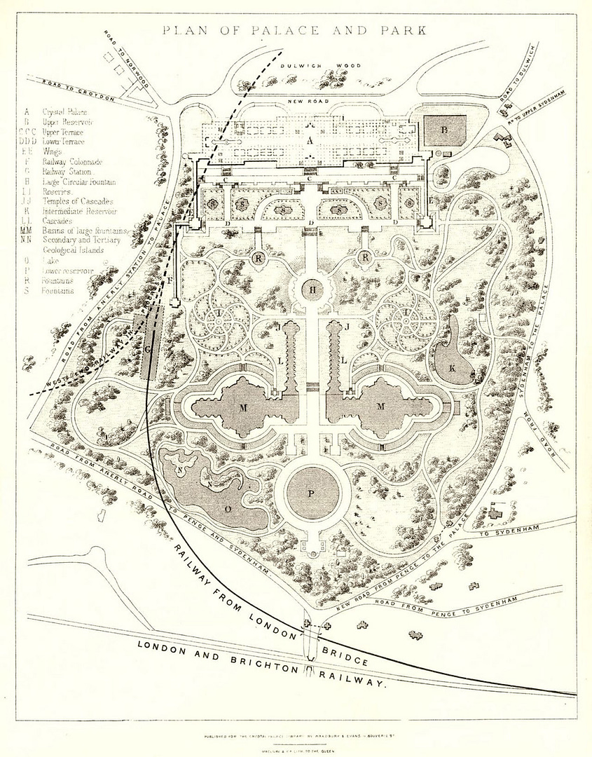
Introduction: Crystal Palace Park was created in the 1850’s to be the permanent setting of the relocated Crystal Palace. Sir Joseph Paxton designed the park as an educational attraction with the hope of entertaining and inspiring visitors with its innovative displays.
The park utilised the natural topography of the Norwood Ridge, which provided views across London and allowed the Palace to be seen from the surrounding area.
Paying visitors could enjoy geological displays and full-scale models of dinosaurs, along with landscaped gardens which included a series of magnificent fountains. These cascading water features and fountains were part of an innovative pump system which circulated the water to the top of the park via reservoirs. In 1894 the two largest fountains were grassed over, and the south basin was converted to a football stadium. This stadium would go on to host the FA Cup Final for 20 years, as well as being the home stadium of Crystal Palace F.C.
The old football ground would go on to be redeveloped again in 1964 as the National Sports Centre which continues to host international athletics meetings and open-air concerts.
The Survey:
Despite the many redevelopments of the site, the original reservoirs remain in place. The routes of the associated pipework, however, are now unknown and our CCTV Drainage Condition And Investigation Survey work was required to map out and report on the condition of the existing system.
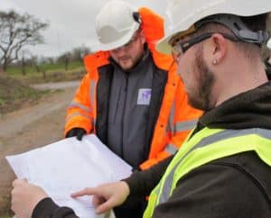
The historic park attracts many daily visitors, making use of the range of facilities in all weathers. The survey areas included walkways and footpaths which were constantly busy with the public, often accompanied with their pets, and safe working practices had to be strictly adhered to, ensuring that all work was completed safely.
Safety measures also had to be in place to work in the vicinity of the reservoirs. The risks involved in working in areas of shallow or deep water are high, and all work carried out on the bankside of the reservoir was carried out with the necessary precautions and control measures in place.
All pipework was CCTV surveyed and traced via EML to create a connectivity plan, highlighting buried manholes on the system. Although the system was found to be flowing at the time of the survey, many serviceable and structural defects were observed throughout the system and were outlined as remedial recommendations in the final CCTV Drainage Condition And Investigation Survey Report.
The Results:
The survey results can now be used as part of the sites strategy going forward, in maintaining and restoring this important historic location.
Specialised Surveys
Relying on outdated and innacurate survey records can lead to damage to infrastructure, expensive repair costs and projects not being finished on time.We completely understand how frustrating this can be which is why our team of highly skilled and qualified surveyors use the very latest technology and equipment to ensure all surveys are accurate and reliable.
Our team of experts are trained to carry out all types of specialised surveys including Utility Surveys, CCTV Surveys, GPR Surveys and drainage surveys.